

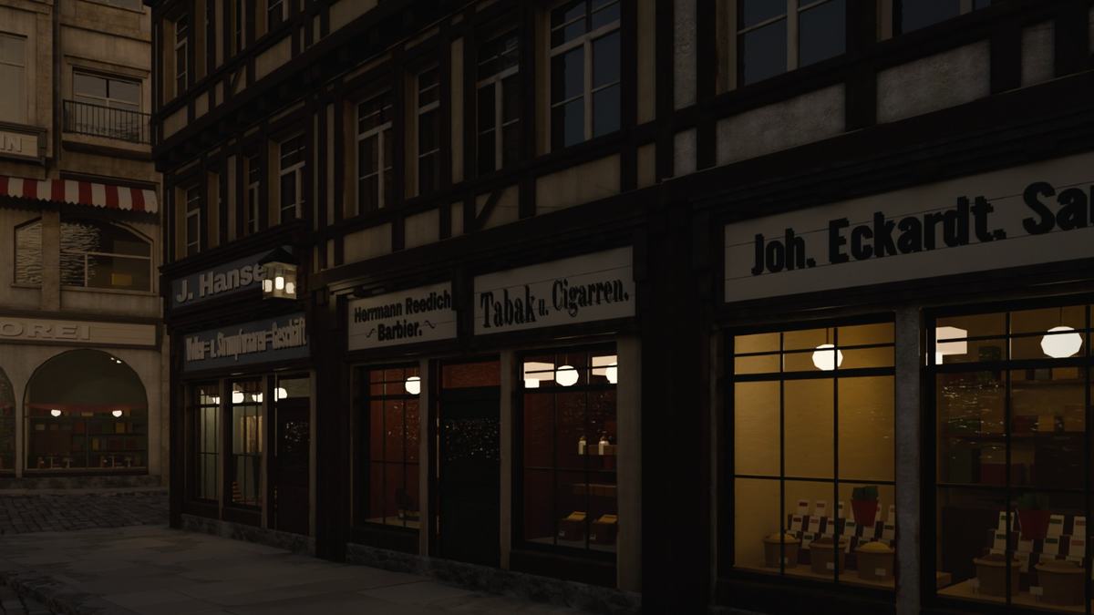
Das Haus, das eine Straße versperrteThe house that blocked a street
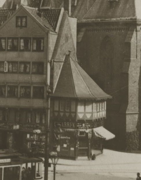
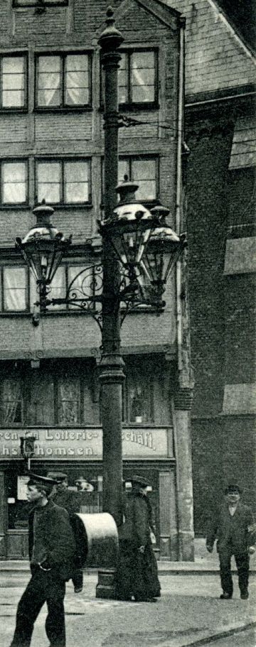
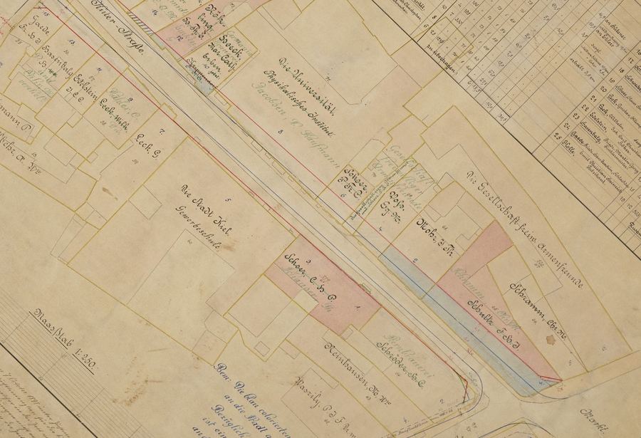
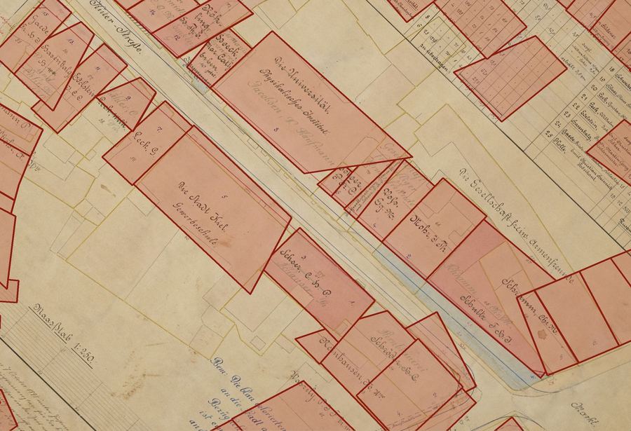
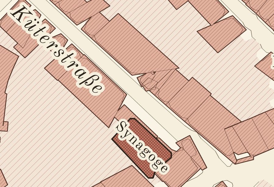
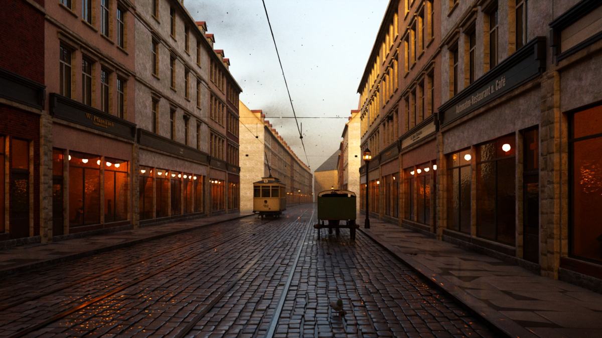
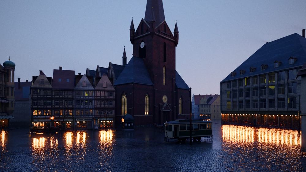
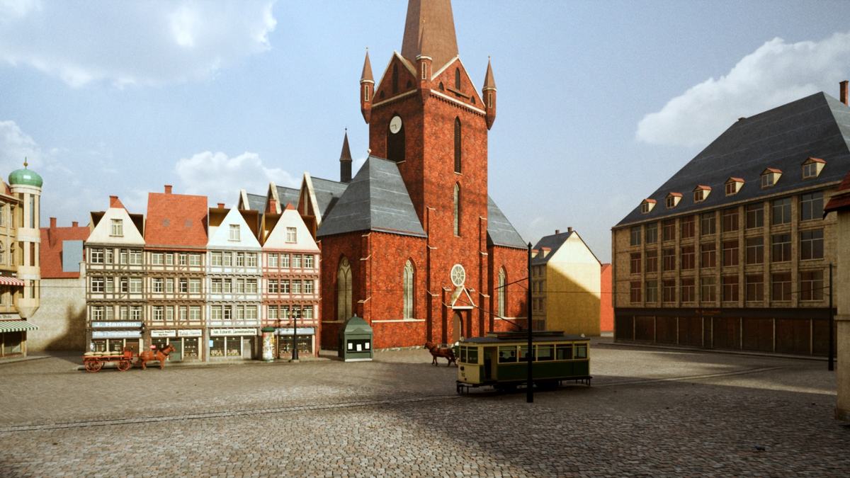
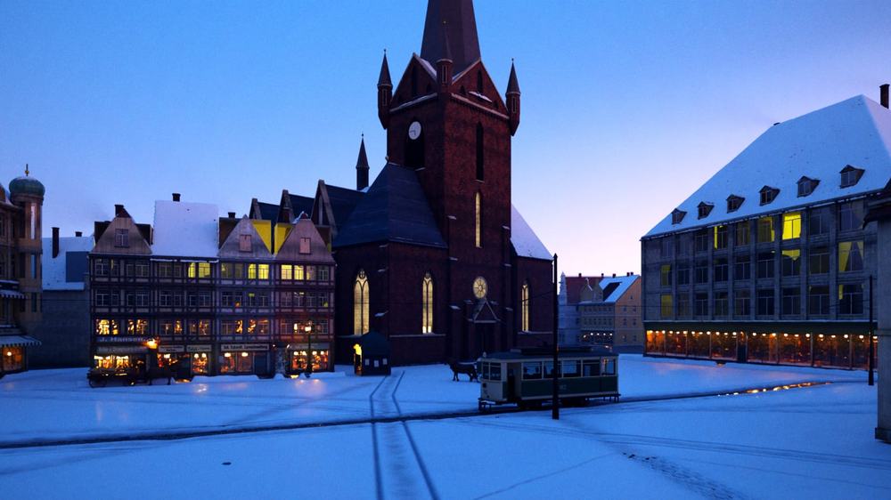
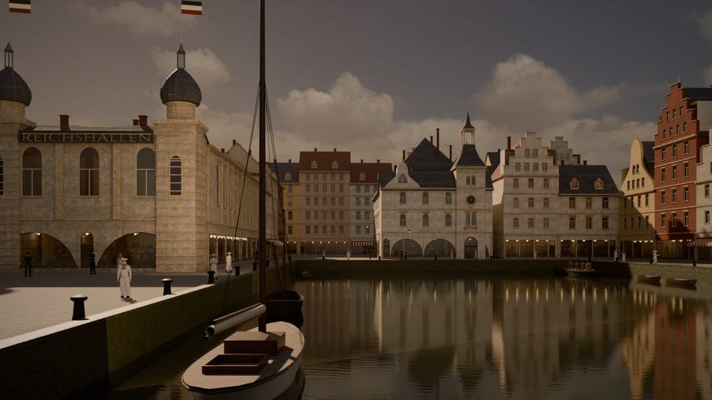
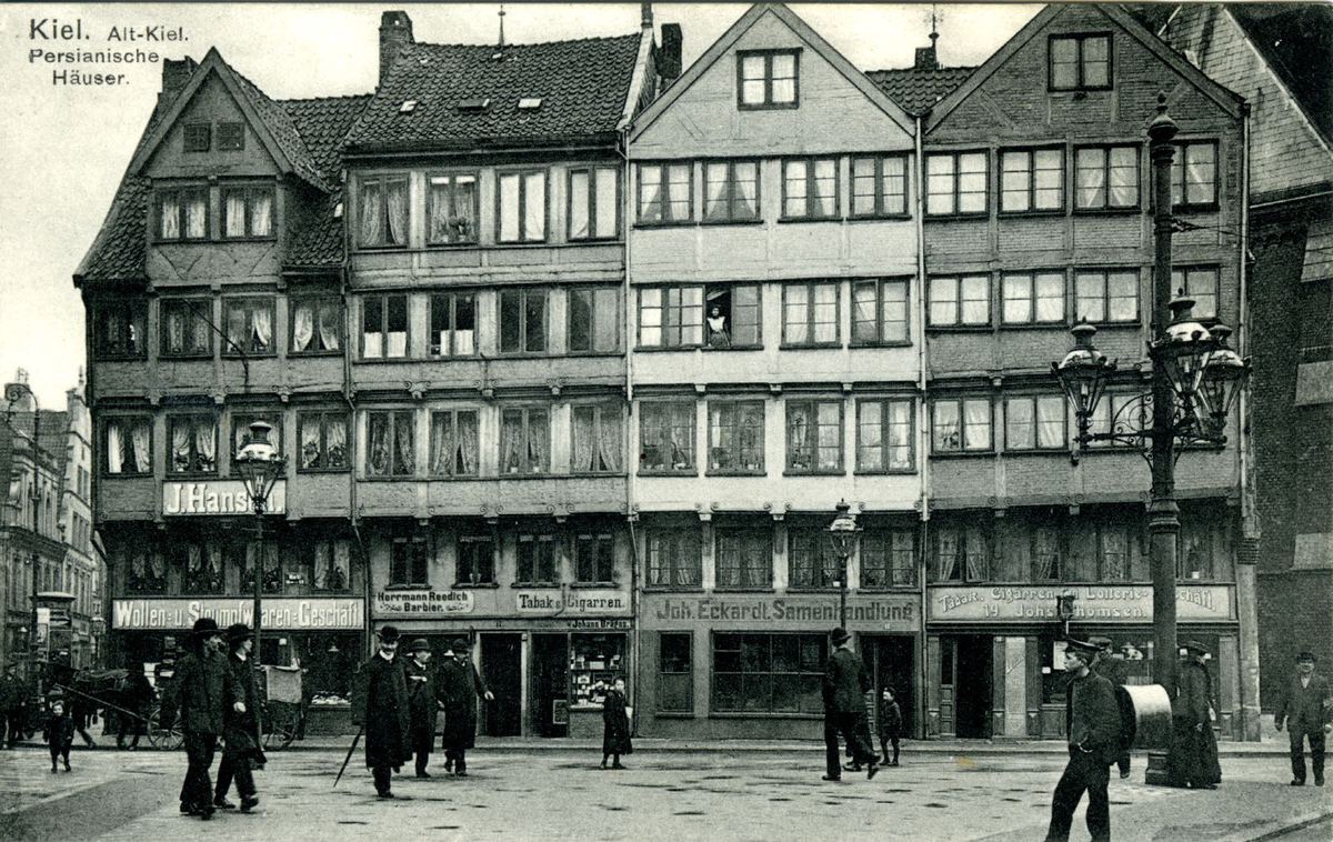
Unser erster Grundriss zeichnete Markt 10 als schlichten Block, 14 m tief. Vom Markt aus stand seine hintere Ecke mitten in der Haßstraße, die Straße war zu. Die Fluchtlinienpläne von 1899 und 1929 zeigen den Fehler: Das Grundstück ist ein Keil, denn die Haßstraße verlässt den Markt schräg. Der Plan von 1899 sah vor, bis zu einem Meter vom Haus abzuschneiden, um die Straße zu verbreitern; der Plan von 1929 zeigt noch die alte Linie. 1912 war die Straße an ihrer Mündung also etwa 5 m breit. Dahinter stand 1912 noch Haßstraße 1, das geschnitzte Telemann-Haus von 1576.Our first ground plan drew Markt 10 as a plain block 14 m deep. Seen from the Markt, its back corner stood in the middle of the Haßstraße, and the street was shut. The building-line plans of 1899 and 1929 show the mistake: the plot is a wedge, because the Haßstraße leaves the Markt at a slant. The 1899 plan meant to cut up to a metre off the house to widen the street; the 1929 plan still shows the old line. So in 1912 the street was about 5 m wide at its mouth. Behind it, in 1912, still stood Haßstraße 1, the carved Telemann house of 1576.
Stadtarchiv Kiel, Ka 5100 (1899) und Ka 5444 (1929), über SchriftGut.SH (als Quellen genannt, ohne Lizenzaussage); Kieler Adreßbuch 1912.Stadtarchiv Kiel, Ka 5100 (1899) and Ka 5444 (1929), via SchriftGut.SH (cited as sources, no licence claim); Kieler Adreßbuch 1912.